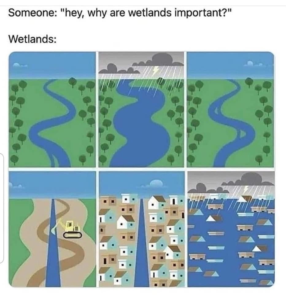
When some asks why we have to delineate the wetlands on a site:

While building Sitehunt, I kept asking myself “Why do we need to delineate wetlands?” The answer is both simple and complex - just like wetlands themselves.
Wetland delineation is the process of determining exactly where wetlands begin and end on a property. Think of it as drawing a precise boundary line between wetland and non-wetland areas. This isn’t as straightforward as spotting where the water is – wetlands are identified through three key factors:
- Hydrology (water presence)
- Hydric soils (soils formed under wet conditions)
- Hydrophytic vegetation (plants adapted to wet conditions)
Why is this important? Just look at what happens when we ignore wetlands during development. Natural wetlands act as nature’s sponges, absorbing excess rainfall and slowly releasing it to prevent flooding. When we build over these areas without proper identification and protection, we’re essentially removing nature’s flood control system. The result? Increased flooding in developed areas, as perfectly illustrated by recent disasters in urban areas.
Delineation isn’t just about environmental protection – it’s a legal requirement. The Clean Water Act requires permits for any development that might impact wetlands. Without proper delineation, developers risk hefty fines and project delays. More importantly, they risk contributing to environmental degradation and increased flood risks for their communities.
So next time someone questions the need for wetland delineation, remember: it’s not just about protecting some muddy ground – it’s about maintaining natural infrastructure that keeps our communities safe and sustainable.
The process might seem tedious, but it’s a crucial step in responsible development. After all, understanding where wetlands are is the first step in protecting them.