Rethinking GIS with AI
Hey Economic Development Pros!
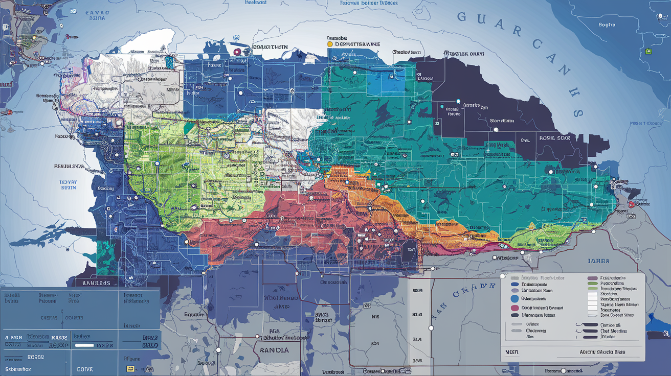
Are you tired of pouring over GIS maps, decoding endless layers of data? At Sitehunt, we’re about to change that game.
Those detailed maps showing population density, transportation networks are great for visualizing data, but let’s face it - they can be overwhelming.
That’s why we’re thrilled to announce an exciting new feature coming soon to Sitehunt. It’s set to revolutionize how we use GIS in economic development. Here’s the scoop: We’re taking GIS data from public sources and, instead of creating more maps, we’re feeding it directly into our AI system.
No maps? Sounds crazy, but stick with us.
Our AI will process this GIS data to enrich your site information. Instead of you interpreting complex maps, our system will provide clear, actionable insights. For example, rather than showing you a map with highways, population centers, and utility lines, our AI will simply fill out the sites’ spec sheet and respond to your RFIs with the right info.
The possibilities are exciting. Imagine processing vast amounts of GIS data quickly, without visual clutter. It’s set to be a game-changer for RFI responses and site selection.
As we prepare to launch this feature, we want your input. What excites you about this idea? What questions do you have? Your feedback is crucial as we fine-tune this innovation.
This is just the beginning. We believe this could be the start of something big in economic development and site selection.
Stay tuned for the launch announcement. The future of GIS is almost here, and we can’t wait to share it with you!